The Nakoa Trail is a 4.5 mile loop located in Ahupuaʻa ʻO Kahana State Park, on the east side of Oahu, immediately off of the highway by Kahana Bay campground. When my wife and I visited Oahu for her birthday in 2023, this was the highlight of our trip.
The reason why we loved it so much was because it is what we envision all Hawaii hikes being — hiking through muddy single-track trails covered in fallen leaves and vegetation, gorgeous views out of the canopy to the ocean, and unexpected adventures!
I grade this trail as easy to moderate, depending on how you do going uphill. The good news is that the uphill portion is relatively short, mostly paved, and well shaded!
Getting There
From the south, take highway 83 north towards Laie. About 12 miles from Kaneohe, the highway will turn sharply to the west to go around Kahana Bay. Once you get to the westernmost point of the bay, turn left onto the Kahana Valley Road and follow it until you get to the signs stating that there is no hiking parking further on.
From the north, take highway 83 south along the coast towards Kaneohe for about 7.5 miles. At about mile 7.5, the highway will turn sharply to the west to go around Kahana Bay. Once you get to the westernmost point of the bay, turn right onto the Kahana Valley Road and follow it until you get to the signs stating that there is no hiking parking further on.
Google Maps will also navigate you directly to the trailhead.
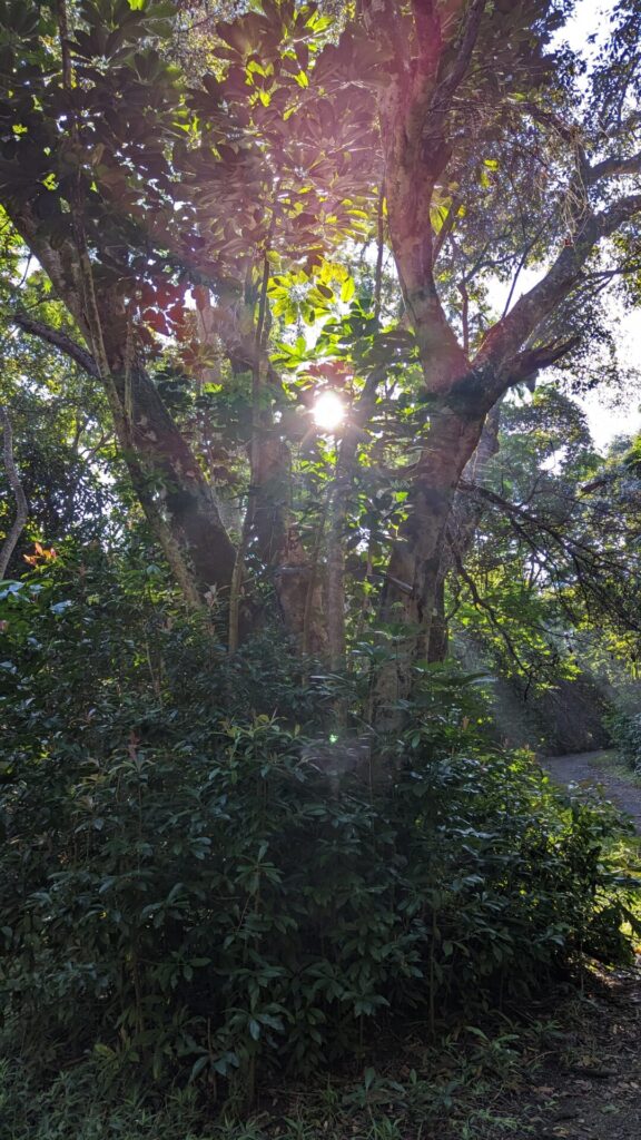
Once you arrive at the parking area, continue up the road on foot where you will arrive at a small, locked gate that you can walk around. Continue up the paved path until you arrive at the actual start of the trail.
Trail Map and Review
This is a well-maintained and well-marked trail. You should not have any troubles staying on track if you pay attention to the signage. There are four main waypoints, each with signage directing you along the route. At waypoints #2 and #3, there appeared to be some additional trails going off, but those are signed with warnings about them not being maintained, nor did we know exactly where they went.
We opted to take the waypoints in order, so proceeded to our right (north) from the trail signs, up the paved path. The rough paved path continues for close to a mile, until you arrive at the fenced off water tank. At that point, it veers around the tank and through all the foliage. Then the trail really starts to get fun.
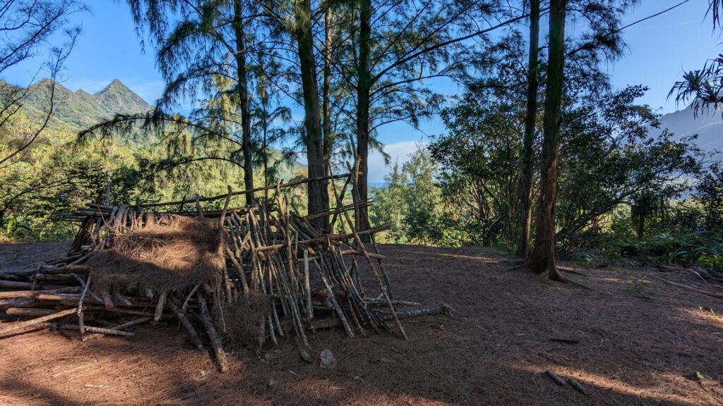
Once you leave the road, the trail meanders through thick stands of koa and hala trees, making for a gorgeous hike. The trail is also really wet and muddy, but because of all the hala leaves on the ground, we didn’t get muddy at all. We did get a bunch of cuts and scratches around our ankles from those sharp leaves though.
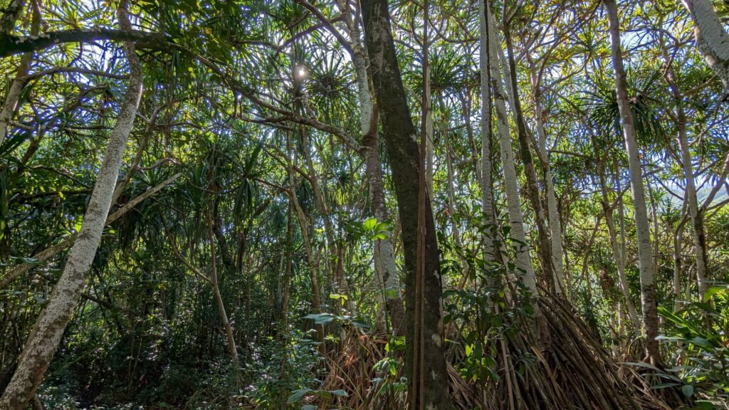
When we arrived at waypoint #2, we had a bit of time to spare before we were meeting our friends at the Polynesian Cultural Center, so we opted to see where the offshoot from there went. According to the trail map, it would take us to the river and some pools.
However, as we went down the path, it was clear it was not maintained at all. At one point it forked, and we saw some pink ribbon tied on the right-hand fork, so we followed that, and it took us further from the river for about a quarter-mile. At that point we turned around, and when we got back to the fork we looked closer and down the left-hand fork a bit further there was more flagging, so I’m sure that’s the correct path to the pools.


As we continued along the main trail, shortly after arriving at waypoint #3 we encountered our first river crossing. I had read that there were two of them, but what I read indicated that it was a stream crossing, so I wasn’t expecting knee-deep wading. The current was really slow, so we stopped in the middle to get some good pictures.
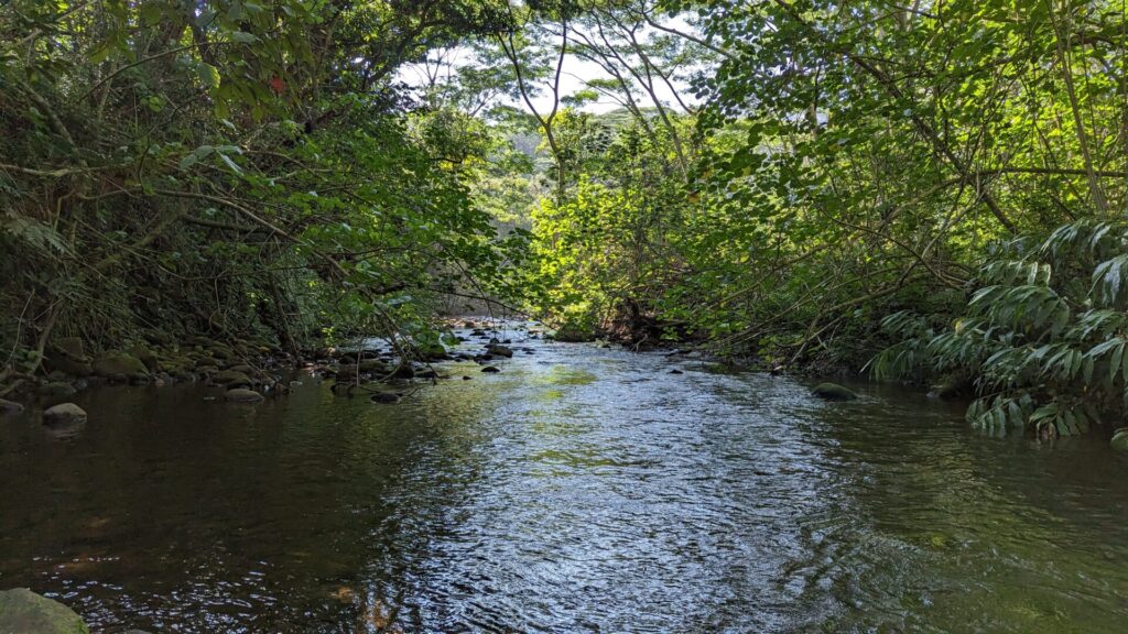
While in the middle of the stream, I told my wife that it would feel really nice to just go for a swim about now. It was getting really warm with our quick pace and the humidity. We opted not to swim, but continued our journey.
Finally, we arrived at waypoint #4 and our final river crossing. If I was surprised that we had to wade through knee-deep water earlier, I was definitely not expecting this!
It was clear that we needed to cross at this point and that the trail continued directly on the other side. However, all we could find were a couple of ropes hanging from the trees above us that looked like rope swings. After assessing our options, we decided to just swim it!


At one point in this trail’s life, there was rope and concrete barriers to assist hikers in the second crossing, but none of that was available when we were there.
We laughed to ourselves how I was able to manifest a swim simply by stating that I would like one as we walked back to the main trailhead and down the road to the car. Thankfully, we had some spare towels in the car, so we were able to dry off a little bit before climbing in and heading back to the house in Kahuku.
Gear
This trail didn’t require much in terms of gear. Here is what we had with us.
- Northend Pack, 10L
- 2x 1 L Nalgene, widemouth water bottles
- Jackery 10000 mAh battery
- Outdoor Research Zip Sack, small
GPX Download
You can download a copy of my GPS track from here, which tracks from the parking area and back. You can also find good reviews of this hike on its AllTrails.com page.


[…] chose to try to Nakoa Trail up Ahupua’a ‘O Kahana State Park, and we were not disappointed! It was the kind of hike […]